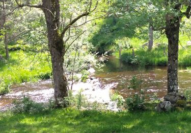
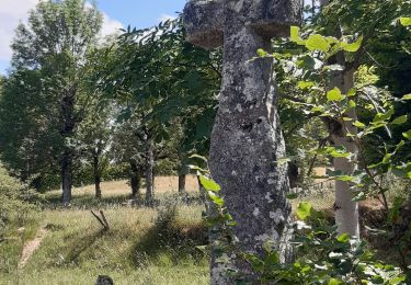
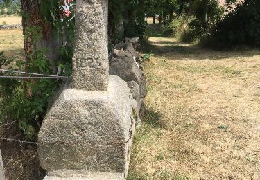
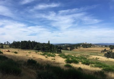
19.1 km | 23 km-effort
aubrac 2017 - jour 1 pm
alfreson
User
Length
18.2 km
Max alt
1218 m
Uphill gradient
346 m
Km-Effort
23 km
Min alt
1024 m
Downhill gradient
501 m
Boucle
No
Creation date :
2017-08-07 00:00:00.0
Updated on :
2017-08-07 00:00:00.0
2h51
Difficulty : Very easy
FREE GPS app for hiking
About
Trail Equestrian of 18.2 km to be discovered at Occitania, Lozère, La Fage-Saint-Julien. This trail is proposed by alfreson.
Description
Manque dernier km
Positioning
Country:
France
Region :
Occitania
Department/Province :
Lozère
Municipality :
La Fage-Saint-Julien
Location:
Unknown
Start:(Dec)
Start:(UTM)
513755 ; 4959394 (31T) N.
Comments
Trails nearby
les moulins?
Walking
Difficult
Peyre en Aubrac,
Occitania,
Lozère,
France
12.4 km | 16.3 km-effort
3h 30min
Yes
TERMES 48 - autour de la Rau de la FAGE
Walking
Medium
Termes,
Occitania,
Lozère,
France
12.2 km | 15.4 km-effort
2h 36min
Yes
TERMES 48 - petit circuit
Walking
Easy
(1)
Termes,
Occitania,
Lozère,
France
7.3 km | 8.8 km-effort
1h 46min
Yes
De Fournels à St-Chély-d'Apcher
Walking
Difficult
Fournels,
Occitania,
Lozère,
France
17.7 km | 23 km-effort
4h 10min
No
Le Truc de l'Homme- Montivernoux - mercredi
Walking
Difficult
La Fage-Montivernoux,
Occitania,
Lozère,
France
10.8 km | 13.8 km-effort
3h 8min
Yes
BOUCLE AU DEPART DE FAU DE PEYRE
Walking
Medium
Peyre en Aubrac,
Occitania,
Lozère,
France
18.1 km | 23 km-effort
4h 49min
Yes
Narce-La Fage Montivernoux
Electric bike
Easy
Termes,
Occitania,
Lozère,
France
23 km | 30 km-effort
Unknown
Yes
Fau de Peyre- les moulins (long) - mardi
Walking
Very difficult
Peyre en Aubrac,
Occitania,
Lozère,
France
14.8 km | 19.5 km-effort
4h 26min
Yes